
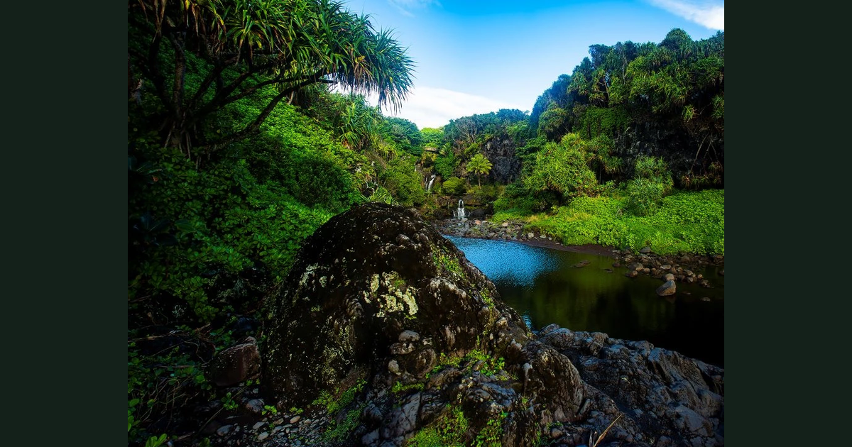
Choose your Haleakalā district before scheduling activities. The Summit and Kīpahulu districts have no direct road connection. Treat them as separate access decisions, not consecutive stops along an internal park road. That does not establish that visiting both in one day is impossible; it means this guide cannot justify combining them without a separate journey plan.
Start with the road approach
The captured National Park Service directions give these approaches:
| District | Road sequence from Kahului | Driving-time evidence |
|---|---|---|
| Summit | 37 → 377 → 378 | No estimate used in this guide |
| Kīpahulu | 36 → 360 → 31 | Approximately four hours from Kahului, according to NPS |
The four-hour figure is a published estimate for the stated origin and destination—not a hotel departure calculation, a district-to-district transfer time or a promise for your travel day. This guide supplies no Summit driving-time estimate.
NPS reports no public transport access to either district, no fuel stations inside the park and no park EV charging stations. Planning implication: settle your transport and vehicle energy needs before assigning either district a place in your itinerary. Do not assume that a route displayed on a map establishes suitable range or available transport.
Compare the conditions, not just the destinations
The NPS weather page describes the Summit as colder and highly changeable, while Kīpahulu is generally milder and wetter. These are planning characteristics, not a forecast. NPS warns that actual weather can depart considerably from forecasts.
The park’s basic information also describes all areas as remote, with stores, services and lodging at least 30 minutes away. Our planning recommendation is to decide what supplies and weather protection your chosen outing requires before leaving, rather than relying on an unconfirmed nearby stop.
Two activity assumptions deserve attention. The captured NPS conditions page requires Summit sunrise reservations for entry from 3–7 a.m. HST and states that the Pools of ʻOheʻo in Kīpahulu are not accessible for swimming. Neither district choice should be built around an activity whose access requirements you have not checked.
A worksheet for deciding whether to include both
The following is an editorial planning framework, not an NPS itinerary or a tested route. Complete one set of answers for each district you are considering:
- Name the purpose. Write the district and the activity that makes it worth including. If your answer is simply “see Haleakalā,” choose a more specific goal before allocating time.
- Identify the actual journey. Record your accommodation or departure point, the district approach, your intended endpoint and your return destination. Keep each journey separate; do not substitute the Kahului-to-Kīpahulu estimate for another route.
- Resolve transport and supplies. Record how you will travel, where you will obtain fuel or charging if needed, and what you must bring. Treat unanswered items as unresolved—not as services presumed to exist.
- Check the conditions that could change the plan. Reopen the official directions, conditions and weather pages before travel. Confirm road access, relevant entry requirements and the weather information available for your intended outing. Reading these captured excerpts does not establish day-of access.
- Make the itinerary decision. Add travel, activity and return time using information appropriate to your actual start point. If including both depends on an unverified connection or leaves no room for changes, keep one district provisional or consider separate days.
After selecting the Summit, continue with the day-hike route and turnaround worksheet or the sunrise-versus-sunset planning worksheet. Those are follow-up decisions, not substitutes for choosing the correct district approach.
Source dates and limits
The NPS directions and basic-information excerpts were captured on October 23, 2026, at 21:35 UTC; the conditions and weather excerpts were captured that day at 22:47 UTC. This is source-based guidance, not firsthand experience or a live availability check. Road access, weather and entry rules require a fresh check before travel; no journey time or safety outcome is guaranteed.

